


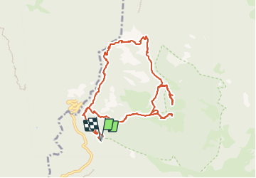
Ponte a Gaio - Rifugio Cesentini - Belvedere

Elis Barbieri - Crb
User


5h30
Difficulty : Medium

FREE GPS app for hiking
 SityTrail
IGN / Geographical institutes
SityTrail Plus
The world is yours!
About
Trail Walking of 12.1 km to be discovered at Tuscany, Lucca, Bagni di Lucca. This trail is proposed by Elis Barbieri - Crb.
Description
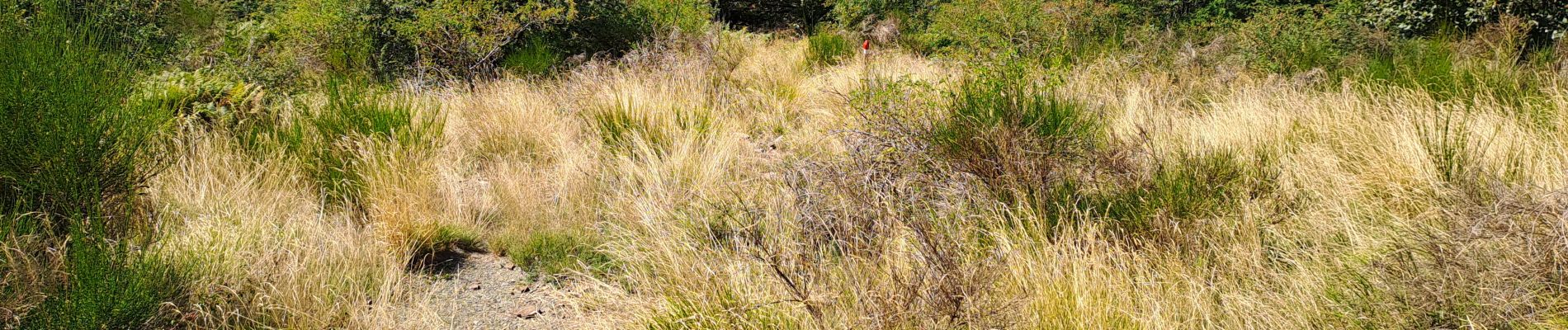
Très belle randonnée avec une grande variété de terrains, le balisage rouge est présent sur toute la longueur. L'accès direct au belvédère se fait par un sentier que nous avons jugé dangereux (très étroit, en dévers avec un apic rocheux de plusieurs centaines de mètres) mais il est facile et vaut le détour en contournant la colline.
Photos


Positioning
Comments